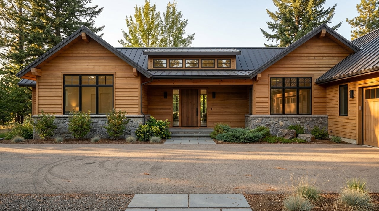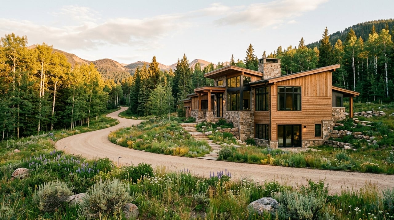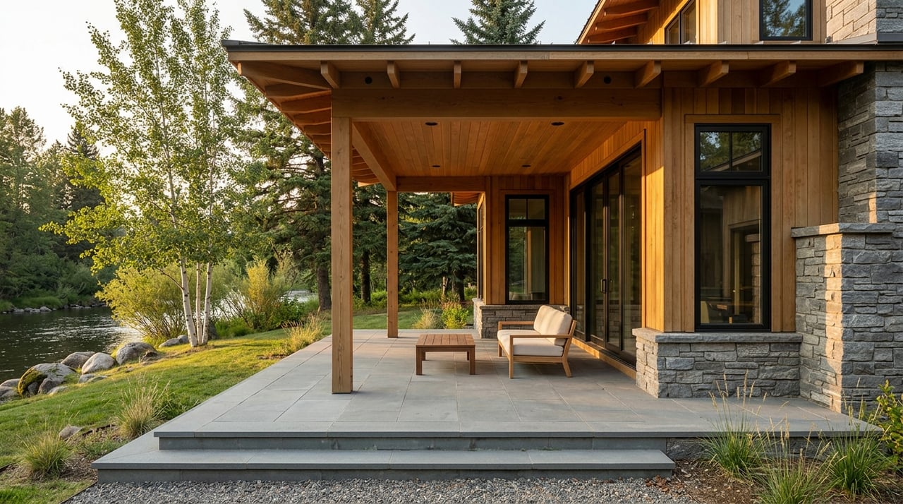
If you are shopping for a Wilson property with a big view or river frontage, it is easy to focus on what you can see from the deck today. The bigger question is what can change tomorrow. In Wilson, the value of a view or river setting often comes down to zoning, easements, setbacks, floodplain rules, and water rights just as much as the home itself. This guide will help you look past the scenery and evaluate a Wilson view or river property with more confidence. Let’s dive in.
Why Wilson properties require deeper due diligence
Wilson is not a blank-slate area where every parcel can be shaped however an owner wants. Teton County’s adopted district plan treats Wilson as an established community node with existing services, local commercial uses, recreation, transit, and ongoing one-property-at-a-time infill or redevelopment.
That matters because a view corridor or river setting may sit inside a larger planning framework. The county also directs new development to protect riparian corridors, which means nearby land use decisions can be influenced by environmental standards as well as zoning.
For you as a buyer, that means a beautiful setting should be evaluated as both a lifestyle asset and a regulated asset. The right purchase is not just about how the property looks today. It is about how the parcel, neighboring parcels, and recorded restrictions work together over time.
What protects a Wilson view
A view is rarely protected by one simple rule. In Wilson, a view is usually shaped by a mix of zoning, setbacks, easements, deed restrictions, and surrounding land use patterns.
Teton County also makes an important distinction between land ownership and development rights. The county says each parcel has development rights based on zoning, and those rights can be bought, sold, or transferred. In some cases, purchase-of-development-right programs extinguish those rights altogether.
That means two properties with similar scenery may not carry the same future build potential. A parcel may look open and protected, but the development rights tied to that land or nearby land may tell a different story.
Check the county GIS early
The county’s GIS map server is one of the most useful tools in your review process. It is the place to verify zoning, property data, floodplain layers, and other mapped boundaries.
Teton County also notes that the Comprehensive Plan is policy, while the Land Development Regulations are what govern zoning, allowable uses, building heights, landscaping, platting, land records, and scenic resources. In practical terms, you want to know both the big-picture planning intent and the actual rules that apply to the parcel.
Review recorded documents carefully
For a Wilson view property, the plat, deed, and easement documents deserve close attention. You want to confirm whether there is a building envelope, conservation area, or deed restriction that affects future improvements or limits what can happen nearby.
This is especially important when buyers assume a current view line is permanent. Often, the better question is not “What do I see?” but “What is legally allowed to change?”
What river frontage really means in Wilson
River frontage can sound simple on a listing sheet, but on the ground it is more nuanced. Along the Snake River corridor in Teton County, parcel boundaries, levees, public access systems, and recreational easements can all affect how a river-edge property functions.
The county’s Snake River corridor spans about 33 miles from Moose to Hoback. Teton County/Jackson Parks & Recreation manages the Wilson and South Park boat ramps, and the county’s river access map is designed to show access points, public lands, hazards, flow data, weather, and recreational easement information.
The Wilson Boat Ramp is public, located off Moose-Wilson Road next to R Park, and open in the summer season from May 1 through October 31, weather permitting. That public-use pattern matters if you are considering a nearby property and want to understand seasonal activity, traffic flow, and access habits in the area.
River ownership does not always mean exclusive use
One of the most common assumptions with river property is that touching the river means private, exclusive enjoyment of the bank. In Wilson, that is not always the case.
County management documents state that most private lands in the river channel have restricted public use through recreational easements. Those easements do not extend outside the river levees and do not create broad public access beyond the levees, but they may allow limited activities such as floating, fishing, wading, hiking, and picnicking.
The planning documents also note that the Wilson Bridge boat ramp is the only developed boating access on public lands in the planning area and that public land there extends only to the levee, not to the water’s edge. So when you evaluate a river parcel, proximity to the shoreline is only part of the story.
Setbacks can shape the buildable area
For river and stream properties, setback rules are a major part of the equation. Teton County’s current standards keep development 150 feet from rivers, 100 feet from perennial or intermittent streams, and 50 feet from wetlands.
These buffer areas must remain free of structures, grading, storage, fences, and similar disturbance. That can have a direct impact on where a home addition, guest structure, patio area, or driveway improvement can go.
For high-value view and river parcels, this is often where expectations and reality meet. A large lot may have a much smaller practical building area once setbacks, building envelopes, and natural resource constraints are layered together.
Even small exterior work may need review
Buyers sometimes assume only major new construction triggers review. Teton County says features such as decks, driveways, patios, and other regularly disturbed areas count as site development.
That means a future improvement plan should be tested early, even if it seems modest. If you are buying for lifestyle upgrades later, this step is especially important.
Natural resource rules are becoming more important
As of May 1, 2025, Teton County uses a three-tier Natural Resources Overlay. The county requires a Natural Resource Assessment before any physical development permit or new use in the county.
The GIS map server is the place to check which tier applies to a parcel. The county also notes that land within a recorded conservation-easement development area may qualify for an alternative review path if the easement documents meet the assessment objectives and the Planning Director approves it.
For you, the practical takeaway is simple. If a parcel looks environmentally sensitive, assume that natural resource review will be central to your decision-making, not a side issue.
Floodplain review is essential
For any Wilson river property, floodplain review should happen early in the process. Teton County says current FEMA flood-hazard zones and floodplain boundaries can be viewed on the GIS page, but those boundaries may not align perfectly with aerial basemaps.
The county also says FEMA is updating Teton County’s flood maps and Flood Insurance Study, and pending products apply to development proposals in flood-prone areas. In other words, a property’s floodplain picture may be more dynamic than a quick online glance suggests.
The county further notes that the Snake River and Gros Ventre levee system includes 24.5 miles of levees. Levees can reduce risk, but they do not eliminate it.
Water rights can matter as much as water views
Wyoming water law is especially important if your Wilson purchase includes a well, irrigation, ditch access, or landscaped acreage. The Wyoming State Engineer’s Office says water rights are property rights, but all water in Wyoming belongs to the state, and Wyoming does not recognize riparian rights.
That is a key distinction for buyers coming from states where river adjacency may create different assumptions. Here, owning land next to water does not automatically give you a separate class of water-use rights.
Confirm what actually transfers
The state advises buyers to research water rights by legal description in the State Engineer’s e-Permit system rather than relying only on the deed or title report. If a property includes a well or irrigation infrastructure, details matter.
The state also says a permit is required before drilling a water well, a permit does not create a right-of-way across another person’s land for a ditch, and a property may appear irrigated even when the seller’s historic water use will not transfer after closing. For larger parcels or homes with landscaping expectations, this can be a major issue.
Smart questions to ask before you buy
When you evaluate a Wilson view or river property, a focused question list can save time and avoid expensive surprises. These are some of the most useful points to clarify early.
- Which zoning district applies to the parcel?
- Which Natural Resources Overlay tier applies on the county GIS?
- What flood zone and setback layers affect the site?
- Does the plat, deed, or easement show a building envelope, conservation area, or deed restriction?
- What water rights, wells, reservoirs, or ditches transfer at closing?
- Are those water-related features permitted and adjudicated?
- If access is from a county road, is there a county road access permit?
- If the parcel touches the river, is use affected by levees, recreational easements, or the public boat-ramp system?
Why local guidance matters in Wilson
A Wilson property can be extraordinary from a lifestyle point of view. It can also be unusually layered from a due diligence point of view.
That is especially true if you are balancing scenic value, future design plans, privacy goals, seasonal use, or long-term ownership strategy. The strongest purchases usually happen when you evaluate not just the residence, but also the rules, boundaries, and physical constraints that shape how the property will live over time.
If you are considering a Wilson view home, river parcel, or legacy building site, working with a local advisor who understands both the luxury market and the county review landscape can make the process far more efficient. For tailored guidance on Wilson and the wider Jackson Hole market, connect with Jake Kilgrow.
FAQs
What should you verify first when buying a Wilson view property?
- Start with the county GIS to confirm zoning, floodplain layers, overlay tiers, and other mapped constraints, then review the plat, deed, and easement documents for building envelopes or restrictions.
How are views protected in Wilson, Wyoming?
- In Wilson, views are usually influenced by a combination of zoning, setbacks, easements, deed restrictions, and surrounding land use rather than a single permanent guarantee.
What do river setbacks mean for a Wilson property owner?
- Teton County’s current rules keep development 150 feet from rivers, 100 feet from perennial or intermittent streams, and 50 feet from wetlands, which can significantly limit where improvements are allowed.
Does owning Snake River frontage in Wilson mean private river access?
- Not always. Recreational easements, levees, parcel boundaries, and public access systems can affect how river-edge land is used and whether bank use is exclusive.
Why do water rights matter when buying a Wilson river or acreage property?
- Wyoming treats water rights as property rights, but the state does not recognize riparian rights, so you should confirm by legal description what rights, wells, or irrigation features actually transfer with the property.
Can you make small exterior changes to a Wilson property without review?
- You should not assume so, because Teton County says decks, driveways, patios, and other regularly disturbed areas count as site development.